Survey Accuracy
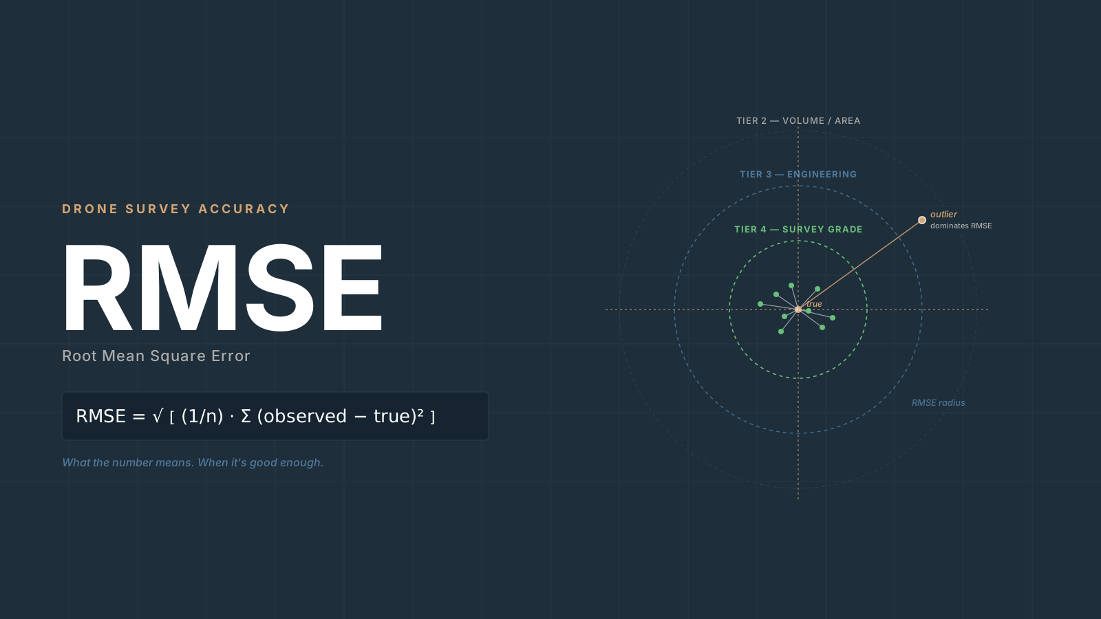
RMSE Explained for Drone Surveyors: What the Number Means
RMSE drone mapping explained: what the formula means, why vertical is always worse, CE90/LE90 conversions, NSSDA statements, when it's good enough.
Read more →


Tag Archive
1 article on NSSDA. Field-tested methodology from a GIS scientist with M.S. GIS, FAA Part 107, and 10+ years of geospatial work.
RMSE drone mapping explained: what the formula means, why vertical is always worse, CE90/LE90 conversions, NSSDA statements, when it's good enough.
Free download: The Complete Drone Mapping Workflow Guide — 30+ pages of field-tested methodology.
Technical content only. Unsubscribe anytime.