The Doming Myth: Photogrammetry's Most Fixable Weakness
Doming is the textbook anti-photogrammetry argument. James & Robson 2014 and the oblique-imagery fix show it's a planning problem, not an inherent SfM ceiling.
Tag Archive
3 articles on bundle adjustment. Field-tested methodology from a GIS scientist with M.S. GIS, FAA Part 107, and 10+ years of geospatial work.
Doming is the textbook anti-photogrammetry argument. James & Robson 2014 and the oblique-imagery fix show it's a planning problem, not an inherent SfM ceiling.
Your drone map is a meter low everywhere except around the GCPs. Here is the diagnostic decision tree for vertical bias — and the fixes that actually work.
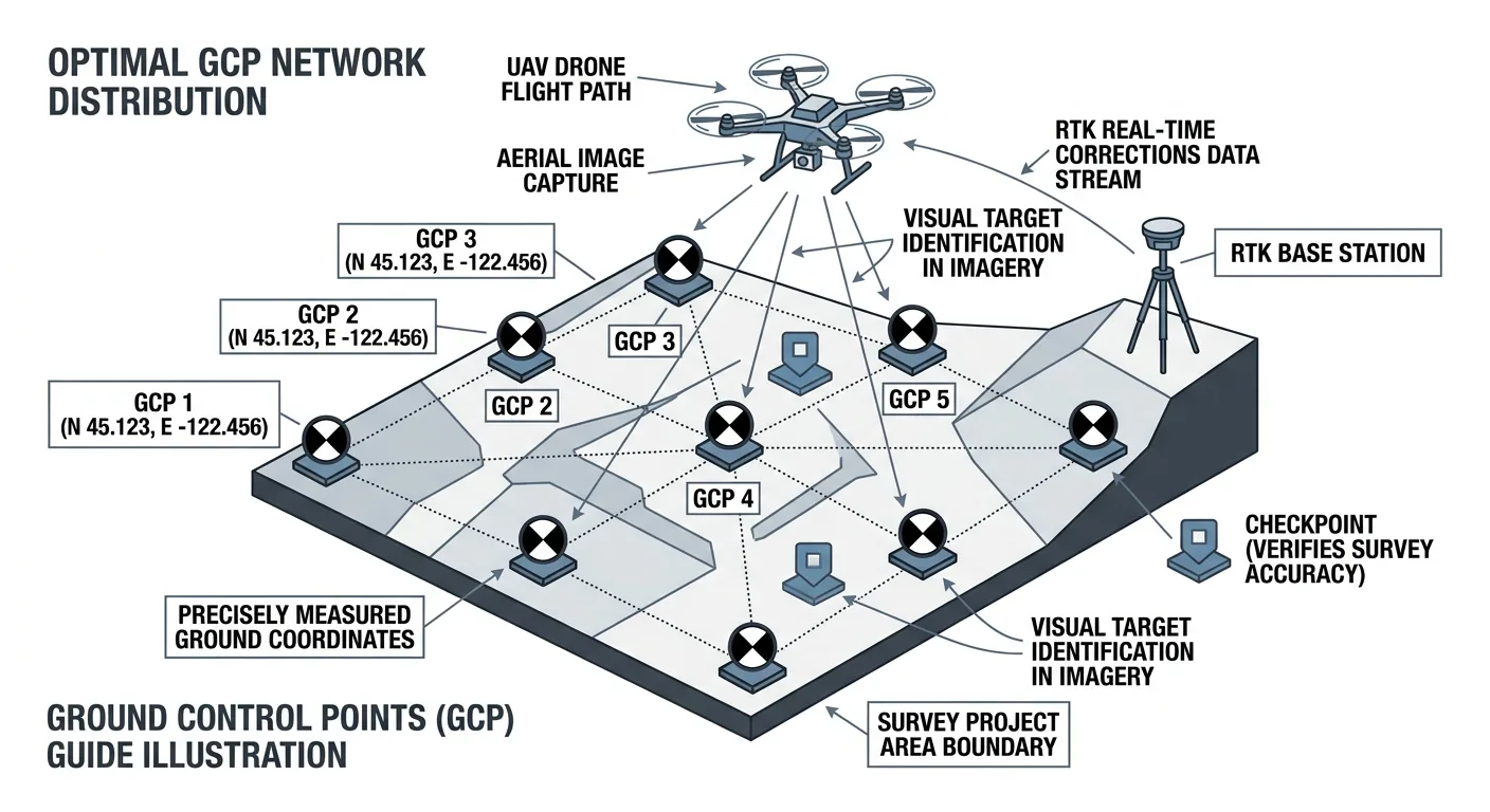
How many ground control points does a drone survey need? 5 GCPs for under 5 acres, 8–12 for 50–500. Distribution beats density — and always include independent checkpoints.
Free download: The Complete Drone Mapping Workflow Guide — 30+ pages of field-tested methodology.
Technical content only. Unsubscribe anytime.