Featured Article
Software & Processing
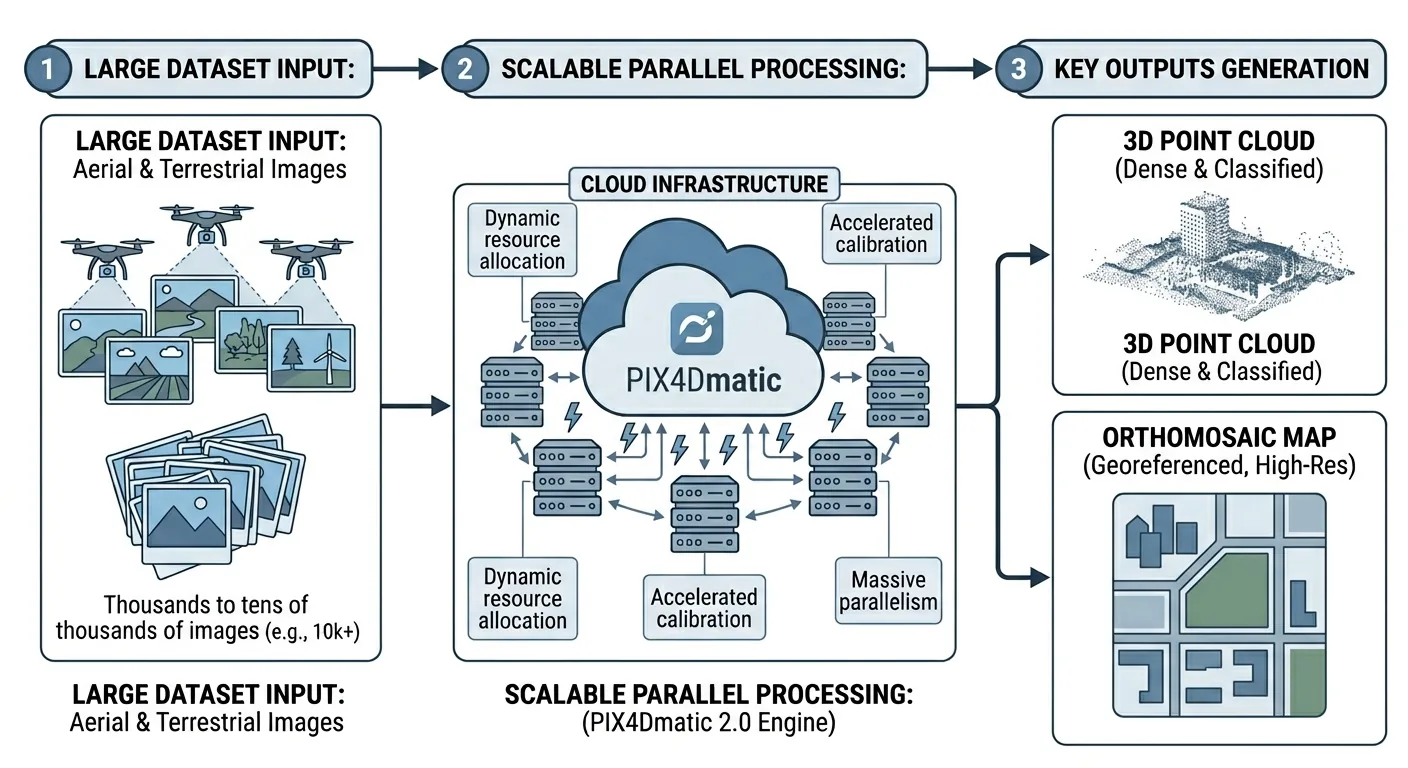
PIX4Dmatic 2.0: What Surveyors Actually Need to Know
PIX4Dmatic 2.0 absorbs PIX4Dsurvey into three tiers. Full comparison vs Metashape and DJI Terra on price, accuracy, GCP workflows, and deliverables.
Read more →