Image Overlap for Drone Mapping: Why 75% Isn't Always Enough
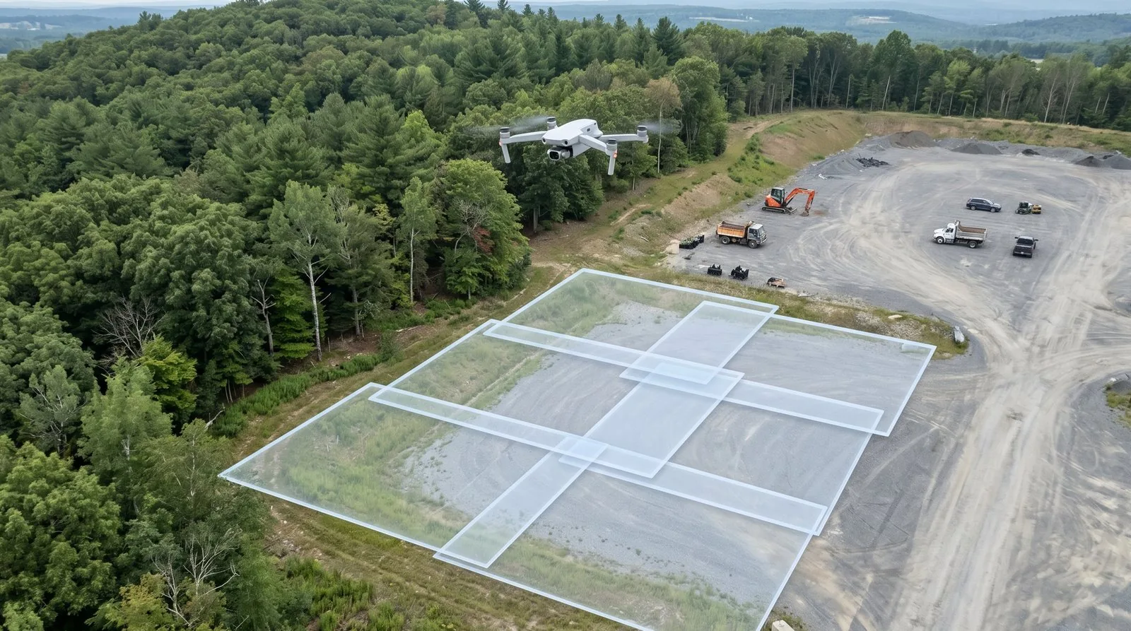
Image overlap drone mapping: 75/60 is the floor, not the target. Here's what fails when overlap is wrong and how to set photogrammetry overlap by job type.
Tag Archive
3 articles on GSD. Field-tested methodology from a GIS scientist with M.S. GIS, FAA Part 107, and 10+ years of geospatial work.
Image overlap drone mapping: 75/60 is the floor, not the target. Here's what fails when overlap is wrong and how to set photogrammetry overlap by job type.
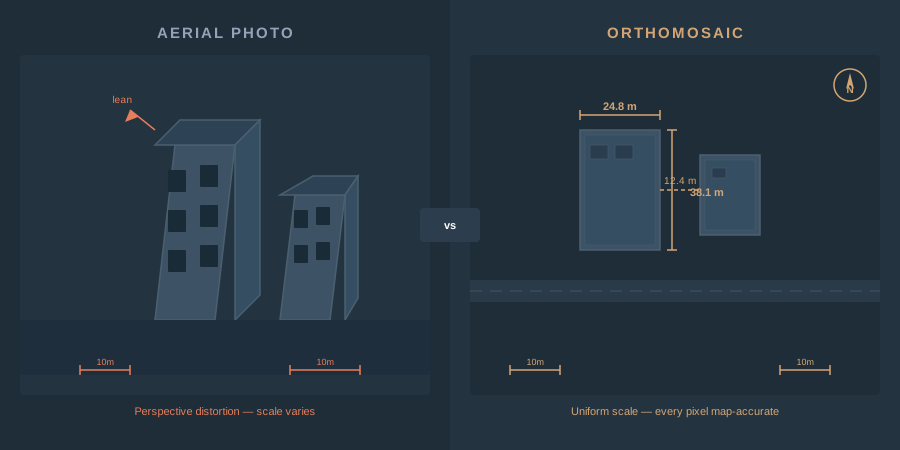
An orthomosaic is a georeferenced image mosaic built from overlapping drone photos. How photogrammetry creates one, GSD, GeoTIFF vs COG, GIS use.
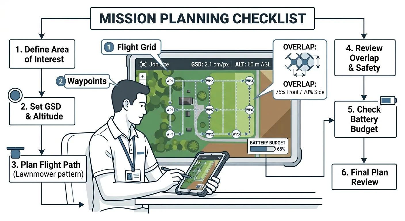
Altitude, GSD, overlap, battery budget — the four parameters that decide whether drone mapping data is usable. Mission planning checklist for surveyors.
Free download: The Complete Drone Mapping Workflow Guide — 30+ pages of field-tested methodology.
Technical content only. Unsubscribe anytime.