

Tag Archive

drone economics

2 articles on drone economics. Field-tested methodology from a GIS scientist with M.S. GIS, FAA Part 107, and 10+ years of geospatial work.

LiDAR vs Photogrammetry

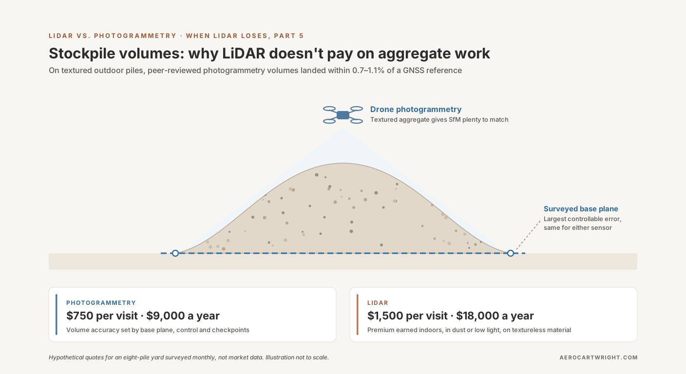
Stockpile Volumes: Why LiDAR Doesn't Pay on Aggregate Work

Aggregate stockpiles are textured and outdoor — where peer-reviewed photogrammetry studies landed within 0.7–1.1% of a GNSS reference volume. When the LiDAR premium isn't earning its keep.

Read more →
LiDAR vs Photogrammetry

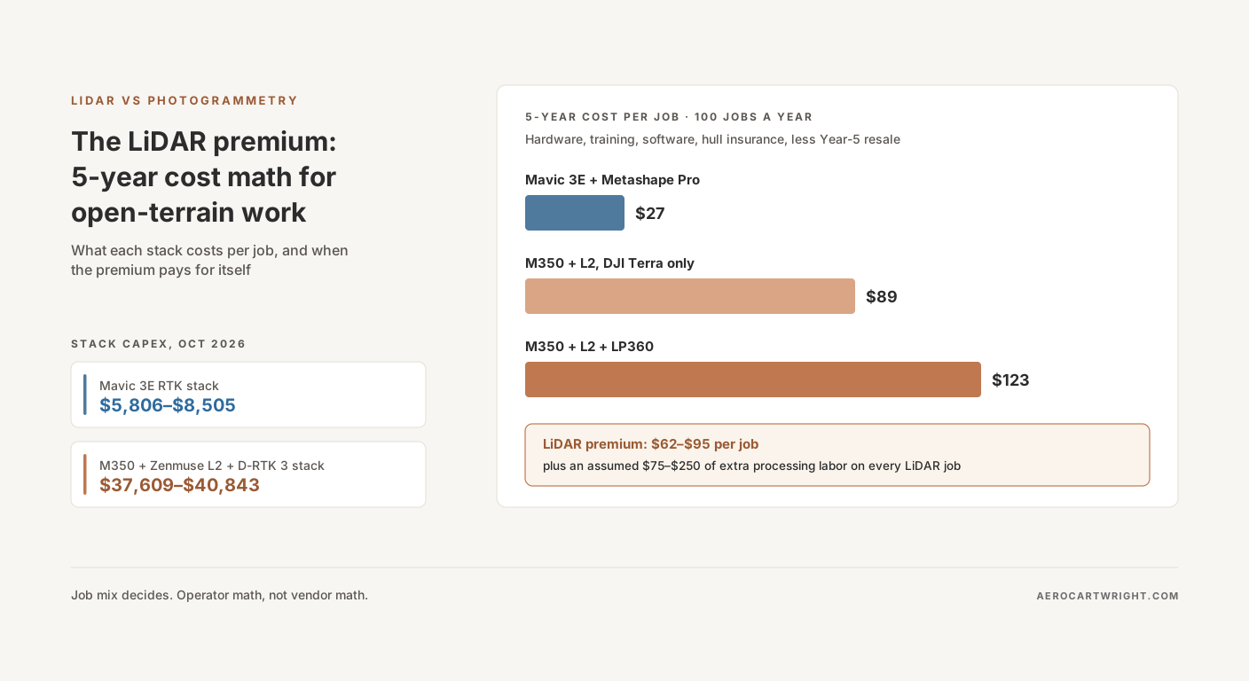
The LiDAR Premium: 5-Year Cost Math for Open-Terrain Work

Mavic 3E stack (~$5.8K-8.5K) vs M350+L2 (~$37.6K-40.8K) at October 2026 dealer prices: the per-job cost over 5 years, when the LiDAR premium pays off, and when you're paying for hype.

Read more →